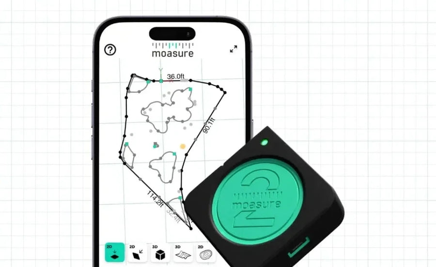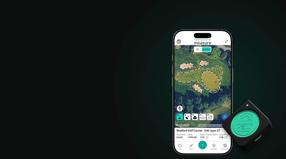
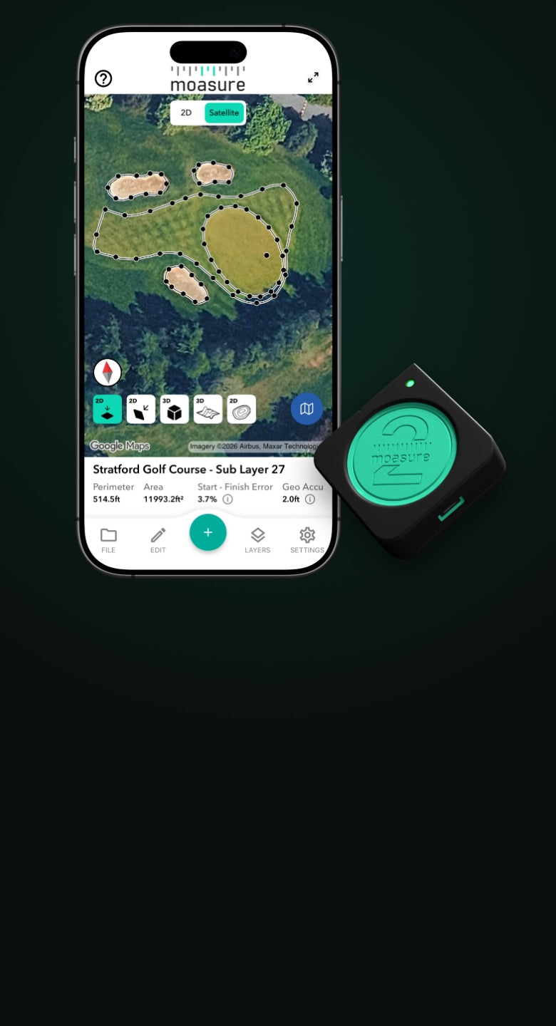
Phone showing a golf hole measured on a satellite map in the Moasure app, beside a Moasure 2 PROPhone showing a golf hole measured on a satellite map in the Moasure app, beside a Moasure 2 PRO

Georeferencing for Moasure

Your measurements.
Now on the map.

Moasure 2 and Moasure 2 PRO now work with your phone’s GPS. Walk the job and every measurement lands on satellite imagery, automatically.

See what it does ↓

Google · Imagery ©2026 Airbus, Maxar Technologies

New for the Moasure 2 Series

Moasure now works with your phone’s GPS*

Moasure measures the shape and size of your space as you walk using motion sensors. GPS puts the whole measurement in its real-world place. Here’s what that unlocks.

*Your phone combines GPS with other satellite systems, such as Galileo, GLONASS and BeiDou. Together, they’re known as GNSS.

Your measurements on the map

See it on the real map

Flip from the measurement to the satellite view. The patio, the lawn, the road repair: right where it is, the right way round.

  • On Google Maps satellite imagery
  • Show the client on site, on your phone
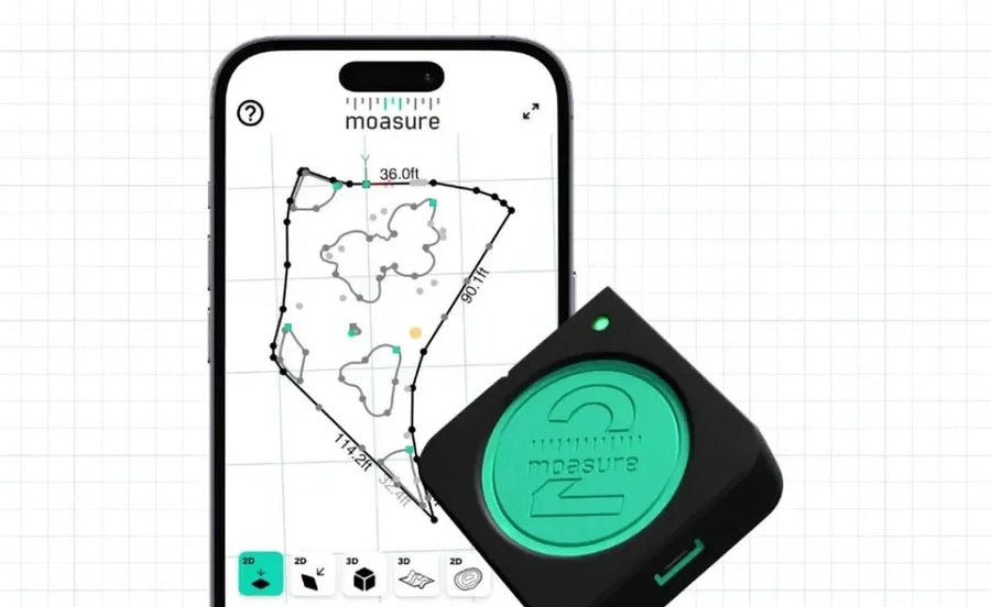
Layers made easy

Line up separate areas

Front yard, back yard, the bed by the fence. Measure each as its own Layer and GPS drops them into place. No reference line to walk.

  • Layers placed by GPS, typically within 1.5–16 ft
  • Need more precise placement? Walk an A-B reference line

Measure without a GPS connection

Keep going where GPS can’t

Start in the open, then follow the boundary under the trees or along the house. Moasure keeps measuring, and the whole line stays on the map.

  • GPS needed for part of the walk, not every point
  • Losing signal never changes the measurement

How it works

Measured by Moasure. Positioned by GPS.

Two jobs, kept separate: one gives you the numbers, the other puts them on the map.

Moasure measures the site

Shape, size, area and elevation, measured as you walk, whether or not there’s a GPS signal.

GPS positions it

Your phone records its position at every point using GPS, a type of GNSS. Moasure uses all those positions to work out where the whole measurement sits.

GPS never changes your measurement. Position accuracy depends on your phone and how much sky it can see, and the app shows it separately.

Choose your Moasure 2 Series device

Both support georeferencing using your phone’s GPS. Moasure 2 PRO adds tighter accuracy, Layout, and Dynamic Intervals.

Need help choosing?

Moasure 2 beside a phone showing a measurement in the Moasure app

Moasure 2

Full kit with Moasure STICK, belt pouch and tool bag

Everyday outdoor measuring, now on the map.

$699

  • GPS: satellite map, Layers, exports
  • ± 0.5% linear distance · ± 2% area
  • X2 Inertial Sensor Engine
Shop Moasure 2

60-day money-back guarantee

Moasure 2 PRO beside a phone showing a measurement in the Moasure app
Most accurate

Moasure 2 PRO

Full kit with Moasure STICK, belt pouch and tool bag

Everything in Moasure 2, plus our tightest accuracy.

$899

  • GPS: satellite map, Layers, exports
  • ± 0.3% linear distance · ± 1% area
  • Layout and Dynamic Intervals
Shop Moasure 2 PRO

60-day money-back guarantee

Moasure 2 vs. Moasure 2 PRO

Understand the differences between our Moasure 2 Series range.

Choose a feature to compare

Accuracy

Moasure 2

Linear Distance: ±0.5%

Perimeter: ±1%

Area: ±2%

Volume: ±3%

Elevation: ±0.5%

Layout: Not available

Moasure 2 PRO

Linear Distance: ±0.3%

Perimeter: ±0.5%

Area: ±1%

Volume: ±1.5%

Elevation: ±0.3%

Layout: ±1%

Achieve up to 50% more accuracy and improved consistency with Moasure 2 PRO. This helps you to achieve tighter tolerances and reduce material waste.

Take it with you

Export to preferred formats

.kml

KML

Opens your measurement in Google Earth.

.gpx

GPX

For GPS devices and mapping apps.

.pdf

PDF

A client-ready report of your measurement.

.csv

CSV

Every point, with its coordinates.

Explore measurements

See example GPS measurements using Moasure 2 and Moasure 2 PRO.

  • Moasure app on a phone showing an abandoned parking lot measured on a satellite map, with perimeter and area
  • Moasure app on a phone showing a city park measured on a satellite map, with perimeter and area
  • Moasure app on a phone showing several areas of a park measured as separate Layers on a satellite map, with perimeter and area
  • Moasure app on a phone showing a golf green and sand traps measured on a satellite map, with perimeter and area
  • Moasure app on a phone showing a traffic island measured on a satellite map, with perimeter and area
  • Moasure app on a phone showing flowerbeds and paths measured on a satellite map, with perimeter and area
  • Moasure app on a phone showing a tree survey plotted on a satellite map, with perimeter and area
  • Moasure app on a phone showing a skate park measured on a satellite map, with perimeter and area

Questions about Moasure and GPS

How accurate is the GPS position?

It depends on your phone and what’s around you. Clear sky, tree cover and tall buildings all make a difference, and position error can reach 16 ft (5 m) or more. Moasure uses the GPS data from across the whole measurement to improve its estimate of where that measurement sits. When you finish, the app shows measurement accuracy and position accuracy as separate figures.

Is it GPS or GNSS?

Technically, GNSS. GNSS (Global Navigation Satellite System) is the umbrella term for satellite positioning systems, including GPS (USA), Galileo (EU), GLONASS (Russia) and BeiDou (China). Moasure uses the location from your phone or tablet, which usually combines signals from several of them. We say GPS because it’s the name most people know.

Does GPS make my measurement less accurate?

No. Moasure measures the area or feature with its own motion sensors. GPS does a separate job: it works out where that measurement sits in the real world, and it doesn’t change the shape or size.

How closely do Layers line up using GPS?

With phone GPS, Layers can be out of line with each other by roughly 1.5–16 ft (0.5–5 m), depending on your phone and the conditions. Each Layer is still a Moasure measurement; only the placement between them comes from GPS. If you need them placed more closely, use the A-B reference line.

Does it work under trees or indoors?

Moasure doesn’t need GPS to measure, so it keeps going under trees, beside buildings or indoors. To place the measurement on the map, part of the same connected measurement needs usable GPS, so start somewhere with a view of the sky. Losing signal doesn’t change your measurement, only how well its position is known.

Still unsure? Talk to a Moasure expert →

The Moasure 2 Series, now with GPS

Shop Moasure 2 Series